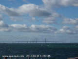
From both sides of the Øresund trait, the bridge is a striking spectacle. The 204 m high pylons are visible from far away. The Øresund fixed link is 16 km long and consists of a 8 km long bridge, a tunnel and an artificial island. You can cross the bridge either by car or by train
Stevns LighthouseThe first lighthouse at Stevns was built in 1818 by Poul Løvenørn the end of the lighthouse's building inspector who was on top of Stevns Klint. It was not a tower, but merely an extension. In 1878 entered this a new 27 meter high lighthouse. The lighthouse ...


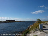


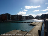
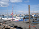
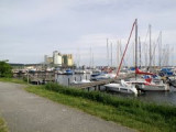
 Port protected by a breakwater.
 Port protégé par une digue.