Vastervik

Vastervik

To precisely geolocate this site. Update if necessary.

Localisation

Vastervik
LatitudeLongitude
DMS------
DM------
DD------

Characteristics

Port
Water
Fuel
First aid
Shipyard

Description

Port protected by a breakwater.
2011/07/29
Update
ArcaneKarma
Port protégé par une digue.
2011/07/29
Update
ArcaneKarma
Vastervik
2011-07-29
Update
ArcaneKarma
Ebook

Baltic sea

  • 84 sites
  • 71 photos
  • publication date: 11 Jul 2023
  • .pdf file size: 70 Mb
Share your comments or photos on "Vastervik"

Sites around Vastervik

Flying distances - Direct line

Visby

52nm
98°
Port protected by a breakwater.
29 Jul 11
nicolechassin

Naval Port of Karlskrona

101nm
199°
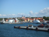
Karlskrona is an exceptionally well preserved example of a European planned naval town, which incorporates elements derived from earlier establishments in other countries and which was in its turn to serve as the model for subsequent towns with similar functions.
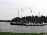
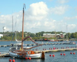
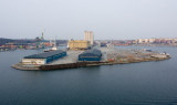
19 Aug 07

Gålö

94nm
33°
Good spot to stay over night or a  few Days. On shore a toilet free to use. Free for all to use.
14 Mar 15

Stockholm

105nm
26°
Largeharbor .
30 Jul 11
terminator