Localisation
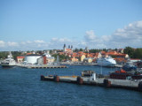
Nynashamn
| Latitude | Longitude |
| DMS | --- | --- |
| DM | --- | --- |
| DD | --- | --- |
Description

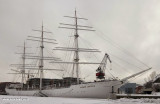
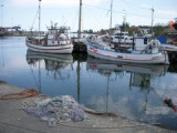
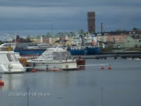
Port.
2011/07/29
Update
lastprodigy

Port côtier.
2011/07/29
Update
lastprodigy

2011-07-29
Update
lastprodigy
Ebook | Baltic sea- 84 sites
- 71 photos
- publication date: 6 Aug 2024
- .pdf file size: 70 Mb
|
Share your comments or photos on "Nynashamn"
Sites around Nynashamn
Flying distances - Direct line
Gålö
Good spot to stay over night or a few Days. On shore a toilet free to use. Free for all to use.Visby
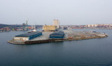
Port protected by a breakwater.