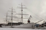
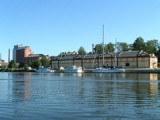
Turku - Forum Marinum256nm173°Naval museum where you can see the tall ship "Suomen Joutsen". She was built in 1902 by Chantiers de Penhoët in St. Nazaire, France, as Laënnec. In 1930 she became a school ship for the Finnish Navy.4 Feb 15


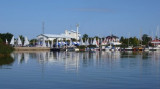
 Port.
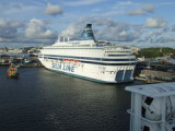
Port. Port côtier.
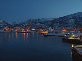