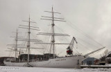
Turku - Forum Marinum71nm73°Naval museum where you can see the tall ship "Suomen Joutsen". She was built in 1902 by Chantiers de Penhoët in St. Nazaire, France, as Laënnec. In 1930 she became a school ship for the Finnish Navy.4 Feb 15
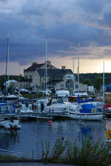
Gålö79nm219°Good spot to stay over night or a few Days. On shore a toilet free to use. Free for all to use.14 Mar 15


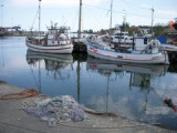


 Port côtier.