Localisation
Luanda
Latitude Longitude DMS --- --- DM --- --- DD --- ---
Characteristics
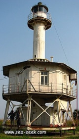
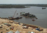
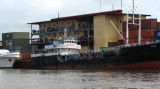
Commercial Port
Description
Porto de Luanda was founded by Paulo Dias de Novais in 1575 and settled by Portuguese colonists. It is the second busiest seaport in Angola.
2009/01/15
Update
anonymous
La ville fut fondée en 1575 par les Portugais sous le nom de São Paulo de Luanda et fut le centre administratif de la colonie d'Angola depuis 1627.
2009/01/15
Update
anonymous
Share your comments or photos on "Luanda"
Sites around LuandaFlying distances - Direct line
Port de Banana
Kipundji
Lobito
Sea-Seek Sailing Guide During your navigation, remember to update the data. If a harbor, marina or anchorage is missing, create it. Thank you for all boaters.


 Commercial Port
 Porto de Luanda was founded by Paulo Dias de Novais in 1575 and settled by Portuguese colonists. It is the second busiest seaport in Angola.
 La ville fut fondée en 1575 par les Portugais sous le nom de São Paulo de Luanda et fut le centre administratif de la colonie d'Angola depuis 1627.