U. Kravljacica et Striznja (Kornat)

U. Kravljacica et Striznja (Kornat)

To precisely geolocate this site. Update if necessary.

Localisation

Characteristics

Mooring buoy
Mooring
Sand
Restaurant
Natural Park

Description

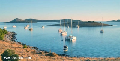
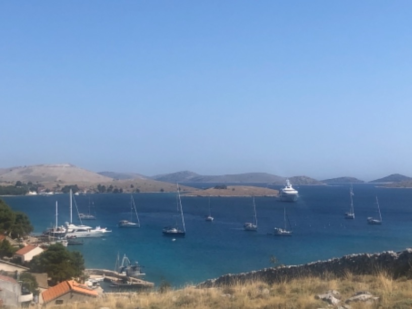
Large bay with an island in the S part.

Kravljacica is a small settlement at NW of the bay.

We anchor by 11 m depth or in front of the moles in 3/4 m.
Bigger vessels anchor in front of NE coast by 20 m.

Exposed to SE and jugo.

Shallows: around few smaller moles (in the bottom of the bay; under the houses; below 1 m).

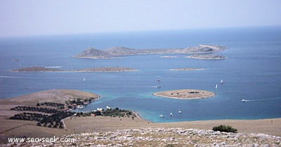
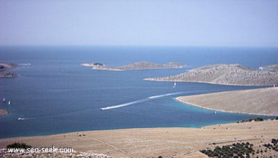
Striznja is located E of the small island, between it and the coast is 4 m.
Berth: 2 long moles and a small closed port; (vessels with the draught of up to 2 m) along the heads of the moles.

We can also moor on mooring-buoys.

Warning: Shallows: inside the small closed port (1.5 m); all bottom along the coast (warning: also have reefs).
2011/07/16
Update
Jojo
U. Kravljacica et Striznja (Kornat)
2011-07-16
Update
Jojo
U. Kravljacica et Striznja (Kornat)
2011-07-16
Update
Jojo
U. Kravljacica et Striznja (Kornat)
2011-07-16
Update
Jojo
Die heutige kleine Kirche " Gospe o Tarca " wurde Ende des Mittelalters erbaut, für die Mitglieder der damaligen Bruderschaft wurde ein Friedhof angelegt. Heute feiert der Pfarrer von Murter hier jedes Jahr am 1. Juli Sonntag eine Messe , ein beeindruckendes Bild, wenn die Gläubigen mit ihren Booten in der " Kravjacica " Bucht einlaufen. Diese Prozession ist das Ereignis des Jahres und eines der schönsten Kroatiens.

Bilder möglicherweise nach dem 3.Juli 2012 - wenn ich da war.

2012/05/19
Update
Kazumba
Grande baie avec une petite île dans sa partie S.

Kravljacica est une petite agglomération au NW de la baie.

On mouille par 11 m de fond ou devant les quais par 3/4 m.
Les gros bateaux peuvent mouiller au NE de la baie par 20 m.

Exposée au SE et au Jugo.

Hauts-fonds autour de quelques petits quais (au fond de la baie, sous les maisons: <1 m).

Striznja est située à l'E de la petite île, entre celle-ci et la côte il y a 4 m de fond.
2 longs quais et un petit port offrent des mouillages. Les yachts avec un TE supérieur à 2 m peuvent s'amarrer le long de l'extrémité des quais. Dans le petit port la profondeur est de 1,5 m.

On peut mouiller sur un corps-mort.

Attention il y a des rochers le long de la côte au fond.

2011/07/16
Update
Jojo
Ebook

Srednji Kanal

  • 54 sites
  • 84 photos
  • publication date: 5 Aug 2024
  • .pdf file size: 26 Mb
U. Kravljacica et Striznja (Kornat)
Baie facile d’accès avec petite taverne et ballade 1 km vers une église sympa. 
5-10 m de fond pour poser son ⚓️ 
Elo
2020-07-23
Update
Anonymous
Share your comments or photos on "U. Kravljacica et Striznja (Kornat)"

Sites around U. Kravljacica et Striznja (Kornat)

Flying distances - Direct line

Otok Zirje (Sibenik)

20nm
120°
Otok Zirje is the farthest and the largest island in the Sibenik archipelago.
It is long of 6,5 NM (NW/SE) and 1,4 NM wide.
The main village, Zirje, is located in the middle of the island. A small port, luka Muna, on the coast N of Zirje, home to the ferry that connects the ...
16 Aug 11
Croatia

Vrgadski Kanal

11nm
80°
Vrgadski Kanal, 7 miles long, leads between Otok Murter and Otok Vrgada and is the principal channel used in the S approach to Pasmanski Kanal and Zadar.
Vessels with a maximum draft of 6.4m may pass through Pasmanski Kanal. Vessels with drafts over 6.4m must either proceed through ...
16 Jul 11
Jojo

Kanal Nove Povljane Vir

31nm
346°
Kanal Nove Povljane, entered between Otok Vir and the SE end of Otok Pag, leads 5 miles SE into Ninski Zaliv.
Shoals at the inner end of this channel restrict the fairway to a width of about 250m, with a controlling depth of 8m. Vessels with a draft of over 6m are advised not to ...
23 Jul 11
Jojo

Novigradsko More

25nm
26°
Novigradsko More, a landlocked bay, lies at the S end of Novsko Zdrilo and provides good anchorage.
Rijeka Zrmanja flows into the bay at the E side. This river is navigable by small craft as far as the village of Obrovca, 6 miles above the mouth.
Luka Novigrad, a narrow inlet, ...
23 Jul 11
Jojo

Otok Levrnaka Kornati

1.2nm
272°
This island is located at W of O. Kornat, facing, at S, to Rt Kranejak (on O. Kornat), and in front of Uvala Bele Lucice (Kornat).It offers a spacious bay on N. side and another narrower bay on S.
17 Jul 11
Jojo

Otok Piskera Kornati

4.3nm
141°
Piškera (known as Jadra) is a small uninhabited island and one of the Kornati island. Its area is 2,66 km². Its coastline is 10,64 km long. It is just off the SW coast of O. Kornat, about 3 NM of Vrulje.There are two islands and some reefs on the S coast.
O. Panitula Vela, the ...
18 Jul 11
Jojo