Localisation
Sankt-peterburg
Latitude Longitude DMS --- --- DM --- --- DD --- ---
Description
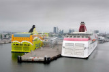
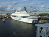
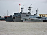
Largeharbor protected by a breakwater.
Grand port de commerce protégé par une digue.
Ebook
Baltic sea 84 sites 71 photos publication date: 6 Aug 2024 .pdf file size: 70 Mb
Share your comments or photos on "Sankt-peterburg"
Sites around Sankt-peterburgFlying distances - Direct line
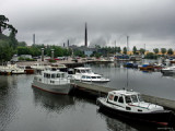
Kotka
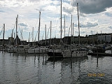
Tallinn
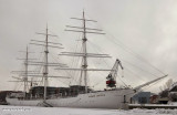
Turku - Forum Marinum
Sea-Seek Sailing Guide During your navigation, remember to update the data. If a harbor, marina or anchorage is missing, create it. Thank you for all boaters.


 Largeharbor protected by a breakwater.
 Grand port de commerce protégé par une digue.