...Marina dans le port de commerce de Durbanhttp://durbanmarina.co.za/?page=0Il y a un autre "club de voile" tout au sud... "Bluff Yacht Club"http://www.bluffyachtclub.co.za/
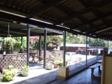
Tout au fond du port de commerce, le Bluff Yacht Club.A good stop over spot for running repairs or just to unwind clear the salt. Great bunch of members ever willing to help with what ever. public transport is non existing, can be a problem but then the live on board members ...


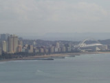
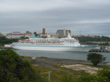
 Harbor protected by a breakwater.
 Port deplaisance.
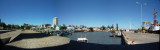