Hov LighthouseLangelandOn the east side of Langeland's northern tip, this completely unique little lighthouse but has been and is very important for ship traffic through the Great Belt. It was turned on 15 December 1893. It is listed in Hasle clinker in a so-called monier construction ...
Sprogø LighthouseThe first lighthouse on Sprogø was built by the postal services in 1809 for the demarcartion of the sea route between Sjælland and Fyn. In 1854 it took over lighthouse administration old post lighthouse, which in 1868 was replaced with the current good ...


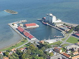


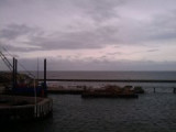
 Port.
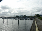
Port. Port côtier.
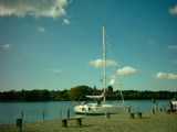