Localisation
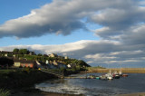
Cromarty
| Latitude | Longitude |
| DMS | --- | --- |
| DM | --- | --- |
| DD | --- | --- |
Description

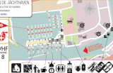
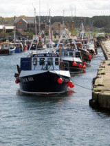
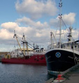
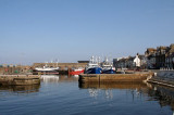
Port protected by a breakwater.
2011/08/23
Update
Timothy J. Robinson

Port protégé par une digue.
2011/08/23
Update
Timothy J. Robinson

2011-08-23
Update
Timothy J. Robinson
Ebook | North sea- 102 sites
- 81 photos
- publication date: 6 Aug 2024
- .pdf file size: 78 Mb
|
Share your comments or photos on "Cromarty"
Sites around Cromarty
Flying distances - Direct line
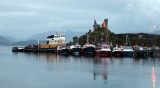
Macduff
Small port protected by a breakwater.