Jaigarh Bay is entered between Jaigarh Head and Bhandarawadi Point, about 1.8 miles NE. The estuary of the Shastri River, which flows into the head of the bay, forms a sheltered, convenient harbor, fairly easy to access, even during the Southwest Monsoon, for vessels of about 3.4m ...
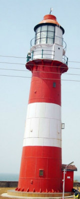
Jaigarh Head has Karateshwar Point at its NW extremity; this point appears from seaward to be a level and almost barren plateau terminating in steep rocky cliffs. A Hindu temple stands on the steep face of the cliffs. Jaigarh Head has been reported to be a good radar target at 20 ...
Kalbadevi Bay is entered between Sookana Point and Kurne Point.Anchorage may be obtained, in 8m, about 0.7 mile E of Sookana Point and 0.3 mile offshore. Local vessels call here during the Southwest Monsoon.
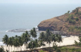
Vada Mirya (Mirya Donghur), a high rocky headland, is lighter in color than the adjacent coast, and resembles an island when seen from the N or S. The W end of the headland terminates in steep cliffs. Mirya Peak, 142m high, the conspicuous summit of this headland, lies about 0.5 mile ...
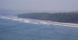
Boria Bay lies SE of Boria Headland. Anchorage, sheltered from NW winds, may be obtained by small vessels, in a depth of 8m, mud. The coast between Boria Headland and Bhandarawadi Point, 3.5 miles SSE, is composed of small, sandy bays divided by rocky points.


 Warori Bluff, about 4.5 miles SSE of Ambwah Point, is a conspicuous promontory, 70m high.