Bandholm

Bandholm

Pour géolocaliser ce lieu. Mettre à jour si besoin.

Localisation

Bandholm
LatitudeLongitude
DMS------
DM------
DD------

Caractéristiques

Port
Eau
Gasoil
Secours
Chantier naval
Epicerie

Description

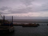
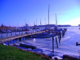
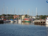
Port protégé par une digue.
2011/08/4
Mettre à jour
sentiyuri
Port protected by a breakwater.
2011/08/4
Mettre à jour
sentiyuri
Bandholm
2011-08-04
Mettre à jour
sentiyuri
Ebook

Baltic sea

  • 84 sites
  • 71 photos
  • publication date: 11 Jul 2023
  • .pdf file size: 70 Mb
Partagez vos remarques ou photos sur "Bandholm"

Sites autour de Bandholm

Flying distances - Direct line

Rodby Havn

12nm
203°
Petit port protégé par une digue.
4 Aug 11

Nakskov

12nm
268°
Port côtier.
4 Aug 11
dasho

Gedser - DK

23nm
134°
Gedser Lighthouse
Started in 1802 as a tower with closed coal lighthouse which in 1834 changed to mirror apparatus. Tower increased in 1851 and fitted with fixed lens apparatus. In 1905 the tower was elevated again and the lens unit was exchanged for a rotary, bear glødenetsbrænder ...
15 Dec 09
holger

Hov - DK

26nm
315°
Hov LighthouseLangelandOn the east side of Langeland's northern tip, this completely unique little lighthouse but has been and is very important for ship traffic through the Great Belt. It was turned on 15 December 1893. It is listed in Hasle clinker in a so-called monier construction ...
15 Dec 09
holger

Stege

28nm
72°
Petit port protégé par une digue.
4 Aug 11
liquid