- Your comments are welcome - If you would like to add your own report on a marina, harbour, beach or anchorage please click on the "Edit" tab above, delete this text and type your comments. Digital photos are also very welcome using the "photo" link in the left menu. - Regards - The Webmaster
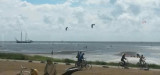
Une des îles du Grevelingenmeer avec commodité toilettes et poubelles. Il faut être en possession d'une carte d’accès à acheter dans les marinas. Possibilité de rester 3 jours maximum sur place. A Attention pronfondeur de 1m à 2m50.


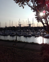
 Ponton de la capitainerie
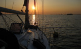