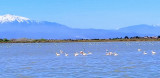
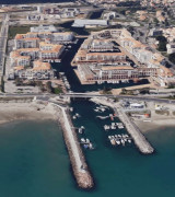
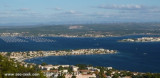
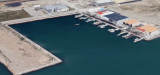
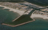
Mouillage très protégé à l'abri du brise-lames ; idéal par vent de sud-est lorsque le port est plein ; fond de sable de très bonne tenue. Attention, il est interdit de débarquer sur le brise-lames !
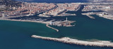
The port of Sete lies 11 miles NE of Cap d’Agde and consists of three sections. An outer harbor and a series of connecting basins and canals in the N part, an industrial zone within Etang de Thau, and an offshore terminal berth. The harbor lies at the foot of the E slope of Mont ...
Ce nom de QUILLES ne s’en rapporte pas au jeu connu, mais aux bornes qui marquaient le tracé du retranchement (ruisseau) reliant la plage à l’étang en 1780,(pont levis) un an après l’installation des tables salantes au pied du mont Saint-Clair.
Port de Peche de Frontignan-Le Peyrade, a small harbor, lies 1.5 miles NE of the main entrance to Sete harbor. It is protected by breakwaters and forms the entrance to Canal du Rhone a Sete.
Frontignan, an extensive yacht harbor, lies 3 miles NE of the harbor entrance at Sete and is protected by breakwaters. A prohibited area (fish haven) is centered 4 miles ENE of the harbor and is marked by lighted buoys.