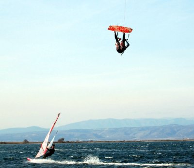
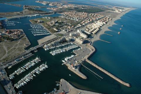
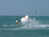
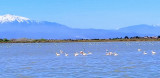
Port Barcarès is unique in that it is situated between the Mediterranean and the sea lagoon - an outstanding 7000-hectare site where nature is sovereign.
2007/12/29
Update
L'originalité de Port Barcarès provient de son partage entre le lac marin, site exceptionnel de 7000 hectares où la nature est souveraine, et la Méditerranée.
900 postes à quai
100 postes sur l'étang
450 postes marina (amodiés)
Profondeur de l'avant-port: 2,5 mètres;
Profondeur du bassin: 2 mètres.
Le port de plaisance de Sainte Marie la Mer dispose près de 500 anneaux dans un cadre naturel. Ses 8 pontons flottants peuvent recevoir des bateaux de 4 à 12 mètres. A flot
- 477 anneaux, longueur maxi 12 m, tirant
d’eau 0,50 m à 2 m, amarrages sur pontons fixes et ...
A few miles from the coves, close to a fine sandy beach, the port of Canet-en-Roussillon provides visitors with total peace and comfort. Within easy reach of all facilities, the warfs are protected by an iron gate with a bolt and by video watch. Here the marina can receive boats up ...
Cap Leucate is prominent, whitish, and flat-topped. It rises steeply from the sea to a height of 52m. A light is shown from a white pyramidal tower with a red lantern and grey ridges, 17m high, standing 0.5 mile S of the cape. Fort des Mattes, a small disused building, stands ...
Le spot de la Franqui se situe au pied des falaises calcaires du Cap Leucate, aux abords d'un ancien village de pêcheurs. Ce spot est le théâtre du "mondial du vent": une manifestation qui se déroule chaque printemps où se succèdent des compétitions de vitesse et freestyle ...
Under the Mediterranean sun, the long fine sand beach of Saint-Cyprien highlights the deep blue sea, under the majestic heights of mount Canigou. While the recently developed station of Saint-Cyprien's reputation for sports and outdoor leisure activities derives from the modernity ...




 VHF 9
VHF 9


 Port Barcarès is unique in that it is situated between the Mediterranean and the sea lagoon - an outstanding 7000-hectare site where nature is sovereign.
 L'originalité de Port Barcarès provient de son partage entre le lac marin, site exceptionnel de 7000 hectares où la nature est souveraine, et la Méditerranée.