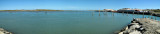
Enter your comments here. Location The entrance to Tauranga harbour is to the west of the 230 metre high Mount Maunganui, which is visible from many miles to seaward. Entrance Navigation The harbour entrance should be approached from the North East to avoid coming ...
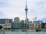
Le port d'Aukland est situé, sur la rive SW dans le centre d'Aukland. Il dessert les importations et exportations de la région. C'est également le plus grand importateur de véhicules. Des postes de mouillage sont à la disposition des navires de croisière. Le port est constitué ...


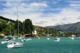


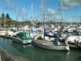
 Marina.
 Port.
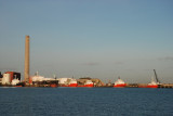
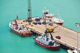
Port.