Cirebon

Cirebon

To precisely geolocate this site. Update if necessary.

Localisation

Cirebon
LatitudeLongitude
DMS------
DM------
DD------

Characteristics

Port
Water
Fuel
First aid
Shipyard
Grocery

Description

Small port protected by a breakwater.
2012/03/27
Update
shogokuma
Petit port protégé par une digue.
2012/03/27
Update
shogokuma
Cirebon
2012-03-27
Update
shogokuma
Share your comments or photos on "Cirebon"

Sites around Cirebon

Flying distances - Direct line

Cilacap

67nm
157°
Large harbor.
27 Mar 12
blentwave

Jakarta

107nm
290°
Large harbor protected by a breakwater.
27 Mar 12
GgdGangsta

Panjang

207nm
290°
Small port.
27 Mar 12
bleachXfanGX

Surabaya

249nm
96°
Harbor protected by a breakwater.
27 Mar 12

Tanjung Balimbing Pamancasa (Vlakke Hoek - SW Sumatra)

244nm
281°
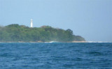
Tg Balimbing (Belimbing) is the S point of Teluk Balimbing and the NW entrance point of Selat Sunda.
The coast is generally low and densely overgrown, but inland the country is mountainous.Teluk Balimbing indents the coast just N of Tanjung Balimbingpamancasa. The village of Balimbing ...
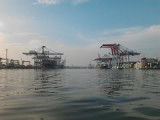
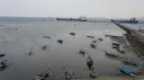
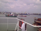
7 Feb 12
Jojo