Sea of Azov The Sea of Azov ( Azovskoye - Azovs'ke - Azaq deñizi) is the world's shallowest sea, linked by the Strait of Kerch to the Black Sea to the south. It is bounded on the north by Ukraine, on the east by Russia and on the west by the Crimean peninsula.
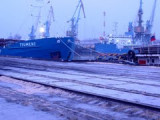
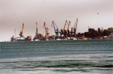
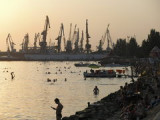
Kerch is a city of metallurgists, shipbuilders and fishermen.There are several ports in Kerch, including Kerch Maritime Trading Port, Kerch Maritime Fishing Port, Port Crimea (ferry crossing), Kamysh-Burun Port.
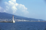
Formalities - Feodosia is a port of entry. Officials will come to the yacht. The crew should not attempt to leave the yacht until all formalities have been completed.. One days notice should be given prior to departure. Berths - Alongside the pier or where directed.


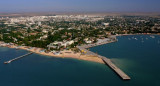


 Sea of Azov The Sea of Azov ( Azovskoye - Azovs'ke - Azaq deñizi) is the world's shallowest sea, linked by the Strait of Kerch to the Black Sea to the south. It is bounded on the north by Ukraine, on the east by Russia and on the west by the Crimean peninsula.