Taganrog

Taganrog

To precisely geolocate this site. Update if necessary.

Localisation

Taganrog
LatitudeLongitude
DMS------
DM------
DD------

Characteristics

Water
First aid
Shipyard
Grocery
Harbour

Description

Small port protected by a breakwater.
2011/12/18
Update
Petit port protégé par une digue.
2011/12/18
Update
Taganrog
2011-12-18
Update
Ebook

Black Sea + Sea of Azov

  • 35 sites
  • 30 photos
  • publication date: 11 Jul 2023
  • .pdf file size: 30 Mb
Share your comments or photos on "Taganrog"

Sites around Taganrog

Flying distances - Direct line

Yeysk

39nm
224°
Small port protected by a breakwater.
18 Dec 11
FOBRxPWNS

Berdyansk

93nm
253°
Port protected by a breakwater.
18 Dec 11
nfakpe

Tuapse

186nm
178°
Port protected by a breakwater.
18 Dec 11

Novorossiysk

159nm
197°
Large harbor protected by a breakwater.
18 Dec 11
gracekerr

Kerch

151nm
222°
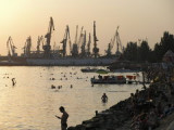
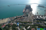
Kerch is  a city of metallurgists, shipbuilders and fishermen.There are several ports in Kerch, including Kerch Maritime Trading
Port, Kerch Maritime Fishing Port, Port Crimea (ferry crossing), Kamysh-Burun Port.
27 Jan 09
anonymous

Feodosia Harbour

197nm
228°
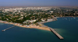
Formalities -
Feodosia is a port of entry. Officials will come to the yacht. The crew should not attempt to leave the yacht until all formalities have been completed.. One days notice should be given prior to departure. Berths - Alongside the pier or where directed.
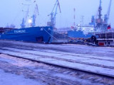
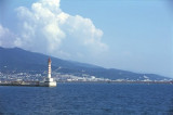
3 Feb 09
anonymous