| Latitude | Longitude | |
| DMS | --- | --- |
| DM | --- | --- |
| DD | --- | --- |
 channel 16

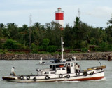
 The port of Calicut, also known as Kozhikode, is an open roadstead of considerable commercial importance. Cargo is worked at the anchorage by lighters. The port is unusable from the beginning of June to the end of August.
Reliance Shoal, with a least depth of 8.6m, extends about 2.5 miles NNW from a position 3.5 miles W of Calicut Light; the shoal is rocky, but the bottom near it is soft mud.
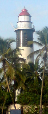
Anchorage Reef, with a least depth of 3.7m, lies about 1.3 miles WSW of Calicut Light. A lighted buoy, painted in black and white stripes, is moored W of the reef; it is in position from October to May.
Calicut Reefs, a group of rocky shoals with a least depth of 4.1m, extend about 1.5 miles N from a position 2.5 miles SSW of Calicut Light.
Coote Reef, with a least depth of 0.9m and over which the sea generally breaks, lies about 1.5 miles S of Calicut Light. A black and white striped can buoy is moored about 0.3 mile W of the reef. Gilham Rock, about 0.3 mile farther S, has a depth of less than 1.8m.
Pilotage is compulsory and is available during daylight hours only. The pilot boards in the anchorage.
Vessels should send their ETA 48 hours and 24 hours in advance. For vessels bound for the harbor, the ETA should also be advised 12 hours in advance; all ETAs should be confirmed 2 hours prior to arrival on VHF channel 16.
The signal station, close N of Calicut Light, communicates with shipping by flags of the International Code or by Morse Code. Landing conditions are indicated by the following flags of the International Code:
1. K—Surf is impassable.
2. M—Communication with the shore is dangerous.
3. N—Boats can leave the harbor.
4. F—Boats can enter the harbor.
Storm signals are shown at Badagara: the General System is used.
The port can be contacted, as follows:
VHF: channel 16
Tel: 91-471-2724842
91-471-2724533
Fax: 91-471-2724533
Mail: calicutport@sanchamet.in
Ebook | Arabian Sea
|


