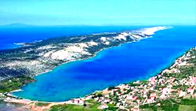
On a mild slope on the north-western side of the island of Pag , in a
few kilometers long but tame cove, whose coast is washed by the sea
waves, is the location of Stara Novalja. Protected from southern and
northern winds ( "jugo" and "bura" ), exposed to the sun, the cove of
Stara Novalja, framed with Mediterranean herbs, at the same time gives
protection during the warmest summer days. This most peaceful nest of
the longest island of Croatian littoral, with rest and accommodation in
private apartments and rooms, offers fun, sports and dancing. The cove
of Stara Novalja is the submerged part of the "Pasko-Dinjiska" valley.
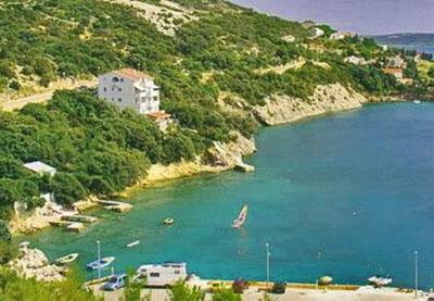
The safest dock for larger ships is located south of the cove called
"Drljanda", where the depth reaches 27-38 meters. Smaller ships and
yachts drawing up to 3.5 meters are docked along the external part of
the jointed pier (in front of the village). In its vicinity are remains
of antique walls, a late antique necropolis, ruins of the pre-Romanesque
church of the Holy Cross. Since the ferry harbor was relocated to
"Zigljen" (except in some extraordinary weather conditions), Stara
Novalja has become a quiet place which offers accommodation facilities
in private homes, as well as lodging and boarding services. As such it
is preferred by families. The major event is the feast day of Saints
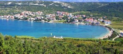
Peter and Paul (29th of June). The biggest beach in Stara Novalja is the
sand beach, "Trincel". There are also many smaller beaches and jetties
in front of the houses on the coastline. The climate is mild and
Mediterranean. Springs are lush and green, summers are dry and warm,
falls pleasant and winters mild with the cold northeast bora winds
sometimes blowing. Daily summer temperatures can reach 30 degrees and
nights are pleasantly fresher. Summer sea temperatures reach 25 degrees,
while the bathing season starts in May. The economy is based on
tourism, farming, wine culture and fishing.


 Stara Novalja is situated in a bay facing steep SSE, well protected in the event of Bora or Sirocco. It is equipped with a dock for the ferry.


 Stara Novalja se trouve dans une baie escarpée orientée au SSE, bien protégée en cas de Bora ou de Sirocco. Elle est équipée d'un quai pour le Ferry.


