Localisation
Saldanha Bay
| Latitude | Longitude |
| DMS | --- | --- |
| DM | --- | --- |
| DD | --- | --- |
Description

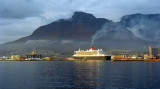
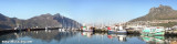
Harbor protected by a breakwater.

Port de commerce protégé par une digue.
Share your comments or photos on "Saldanha Bay"
Sites around Saldanha Bay
Flying distances - Direct line
Dassen Island
Magnifique réserve naturelle et une zone protégée abritant plusieurs colonies de pingouins.