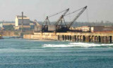
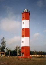
Gopalpur is a town near Berhampur, on the shore of the Bay of Bengal. It has an ancient commercial port, now lying in ruins. Gopalpur-on-Sea is a famous sea beach and tourist attraction. This languorous beach with coconut groves, casuarinas and gentle sand dunes is deserted for ...
Santapelli rocks, with a least depth of 1.5m and dangerous wrecks close E, lie between 5.5 and 6 miles SE of Santapilli Light. The sea breaks heavily over these dangers with a moderate swell, but not in good weather. The channel between these rocks and the mainland is safe only ...
Investigator Rock, with a least depth of 2.3m, lies about 8.5 miles NE of Baruva South Beacon. The water over the rock is not discolored and it is not marked by breakers. A shoal area, with a least depth of 9.3m, lies 2 miles SSW of Investigator Rock.
Kalingapatnam lies close S of the mouth of the Vamsadhara River and about 1.5 miles NNW of Sandy Point. There are no berthing facilities.Kalingapatnam is known in the history as the Capital of Gang Dynasty who
ruled the region, spread over the entire coastal belt from Godavari to ...
Sandy Point lies about 3.5 mile E of Nanwell Point. An obstruction, with a least depth of 7.3m, was reported to lie about 1.5 miles NNE of Sandy Point.