Localisation
De Kastri
| Latitude | Longitude |
| DMS | --- | --- |
| DM | --- | --- |
| DD | --- | --- |
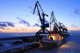
Description

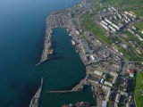
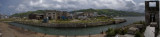
Harbor.

Port de commerce côtier.
Ebook | East Sea - 22 sites
- 22 photos
- publication date: 7 Aug 2024
- .pdf file size: 10 Mb
|
Share your comments or photos on "De Kastri"
Sites around De Kastri
Flying distances - Direct line
Kholmsk
Port protected by a breakwater.Nevelsk
Small port protected by a breakwater.