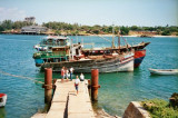
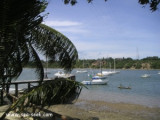
Kilifi is a very secure and safe place. It is situated on a natural creek, providing an exceptional safe and sheltered mooring. Kilifi is outside the cyclone area and far away from any pirate activity near the Somali coast.Naval shipyard "Kilifi Boatyard Limited", able to lift boats up to 50T.


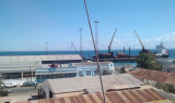
 Harbor.
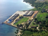
 Port de commerce côtier.