
San-sue
7.2nm
69°
28 Jul 11
Bruce
| Latitude | Longitude | |
| DMS | --- | --- |
| DM | --- | --- |
| DD | --- | --- |

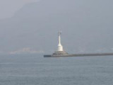
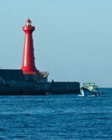
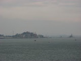
 Les Pescadores (du portugais « pêcheurs ») sont un archipel de 90 îlots au large de la côte ouest de Taïwan, dans le détroit de Taïwan. Elles sont administrées par la République de Chine.
 The Penghu islands, also known as Pescadores from the Portuguese, meaning "fishermen".
The Penghu archipelago was captured by the French in March 1885, in the closing weeks of the Sino-French War, and evacuated four months later. The Pescadores Campaign was the last campaign of Admiral Amédée Courbet, whose naval victories during the war had made him a national hero in
France. Courbet was among several French soldiers and sailors who succumbed to cholera during the French occupation of Penghu. He died aboard his flagship Bayard in Magong harbour on 11 June 1885.
The archipelago has been administered by the Republic of China since the Retrocession Day (October 25, 1945) as part of its Taiwan Province.
In the early 1990s the Penghu National Scenic Area that comprises most but not all of the islands and islets of the archipelago was created. Tourism has since become one of the main sources of income of the county.