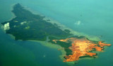
La presqu'île de Fouras est située à l'embouchure de la Charente et possède trois ports protégés des fortes houles par les îles d'Aix, Oléron et Ré. Le Port Sud possède 60 places à couples et 2 pontons. Capitainerie ouverte suivant marée (05 46 84 23 10).
2019/07/4
Actualizar
azerty
The peninsula of Fouras is located at the mouth of the Charente and has three ports protected from heavy swell by the islands of Aix, Oléron and Ré. The South Port has 60 places and 2 pontoons. Master office is open following tide (05 46 84 23 10).
2019/07/4
Actualizar
azerty
Comparta sus comentarios o fotos en "Fouras - Port Sud"
Pulau Telan (Telang), the SW point of which forms the SE limit of Selat Riau, is irregularly shaped and nearly 5 miles long, NE and SW, and about 1 mile wide. It is divided into two parts and may be identified by a square hillock on its S end, 63m high, which, with a sharper peak ...
The Merodong group of islands lie to the W of Pulau Mesanak, between it and the Temiang group. The former group comprises six islands, separated by channels unsuitable for navigation and there is no reason in venturing among them or between them and Pulau Mesanak. Merodong, the ...
Pulau Mesanak, located 7 miles N of the N end of Pulau Sebangka, has the form of an elbow, of which the long arm extends 4.5 miles in a N and S direction, and the short arm 3 miles E and W. Ridges of hills extend the whole length of both arms, the highest point, 107m high, being where ...
Pulau Karas Br, lying about 4 miles N of Korek Rapat, is 3.5 miles long and about 0.7 mile wide; it is hilly, with a flat summit, wooded, and has a reef encircling it extending in places for a distance of 0.25 mile.Pulau Karas-Ketjil (Karas-Kecil), an island marking the SW end of ...
The Selanga Islets, three in number, lying on the SE of Selat Pengelap, are small but elevated and conspicuous; the S islet is 35m high. With an opposing wind and current, a troublesome sea may arise in this area.The Pangelap group of islands separates Selat Pangelap from Selat Abang. ...




 Canal 9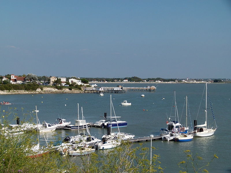
 La presqu'île de Fouras est située à l'embouchure de la Charente et possède trois ports protégés des fortes houles par les îles d'Aix, Oléron et Ré. Le Port Sud possède 60 places à couples et 2 pontons.
 The peninsula of Fouras is located at the mouth of the Charente and has three ports protected from heavy swell by the islands of Aix, Oléron and Ré. The South Port has 60 places and 2 pontoons.